

You are designing a SQL Server Reporting Services (SSRS) report for a bank. The bank has
Automated Teller Machines (ATMs) in several regions. ATM operational data is stored in a
Microsoft Azure SQL Database database.
The report must use a map to display the location and status of the ATMs as shown in the
following exhibit. (Click the Exhibit button.)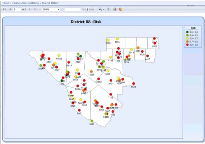
You need to ensure that the report displays only a user selected map region.
Which source of spatial data should you use for the map?

A.
SQL Server spatial query
B.
Map gallery
C.
ESRI shape file
D.
Bing Maps layer
http://www.microsoft4shared.com/wp-content/uploads/2014/08/clip_image01213.jpg
0
0
Question is easy:
A. – SQL Server spatial query – yes we will take data from database and we need to take geographical data and filter them out using geographical expressions in WHERE clause
Other answers:
Map gallery -we will use it but not as data source
ESRI shape file – we could use it instead of map gallery.
Bing Maps layer – we could use it to make the map nicer – with the background. This is not a source of data for the query.
0
0